 ONE STOP - IAMS (INDUSTRIAL AREA MANAGEMENT SYSTEM) is going to be launched.:

Call us 10:00am - 5:00pm
06542 – 253599
E-mail us
mdbiadabokaro@gmail.com
Understand The Contours of Land
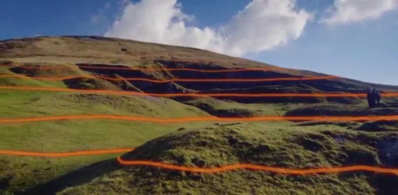
What is Contour Surveying? Methods, Maps and Uses of Contours in Surveying
Contouring in surveying is the determination of elevation of various points on the land and fixing these points of same horizontal positions in the contour map.
In the land property world, a contour is an outline of a mass of land. Main objective of conducting contour surveys is to identify any noticeable difference in elevation of the existing land. In land surveying a contour map is a map illustrated with contour lines, for example a topographic map, which thus shows valleys and hills, and the steepness or gentleness of slopes.
Purposes of Contouring
A contour map is very useful since it provide valuable information about the land. Contour survey is carried out at the starting of any engineering project such as a road, a railway, a canal, a dam, a building etc.
Use of Contouring in survey
- It depicture slope and size of different landforms on map.
- It provides complete and clear image of the land and the surrounding area.
- By reading contour interval it is easy to sort out the different elevation of the landscape.
- It provide the basis for coloring method.
Get in Touch
You will find yourself working in a true partnership that results in an incredible experience, and an end product that is the best.
Call us on
06542 – 253599
Email us
mdbiadabokaro@gmail.com
